Elevate Your Experience
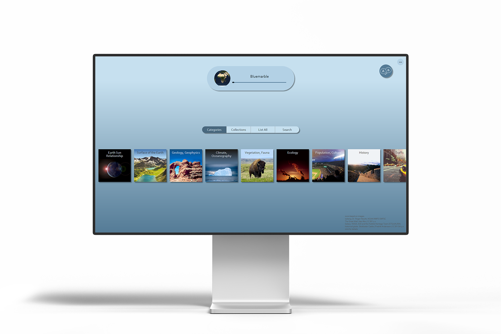
OmniSuite puts you in command, aligning your projection flawlessly to your spherical display and site, giving you instant control.
Redefining User-Friendly Design
OmniSuite’s user interface offers a cutting-edge, out-of-the-box experience meticulously crafted through years of user feedback and expertise-driven design.
Your Multilingual Solution
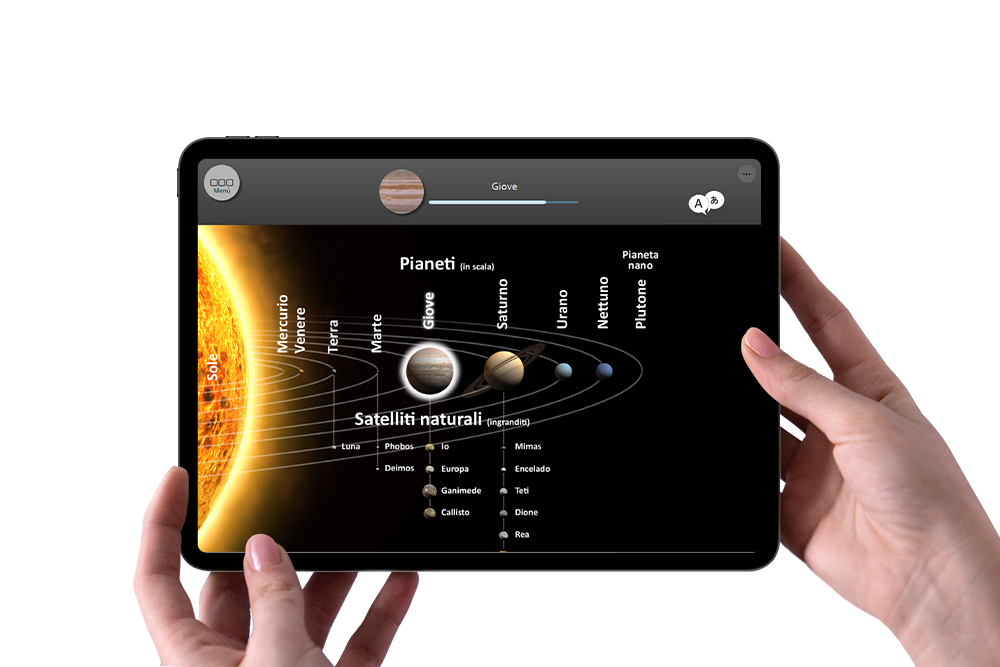
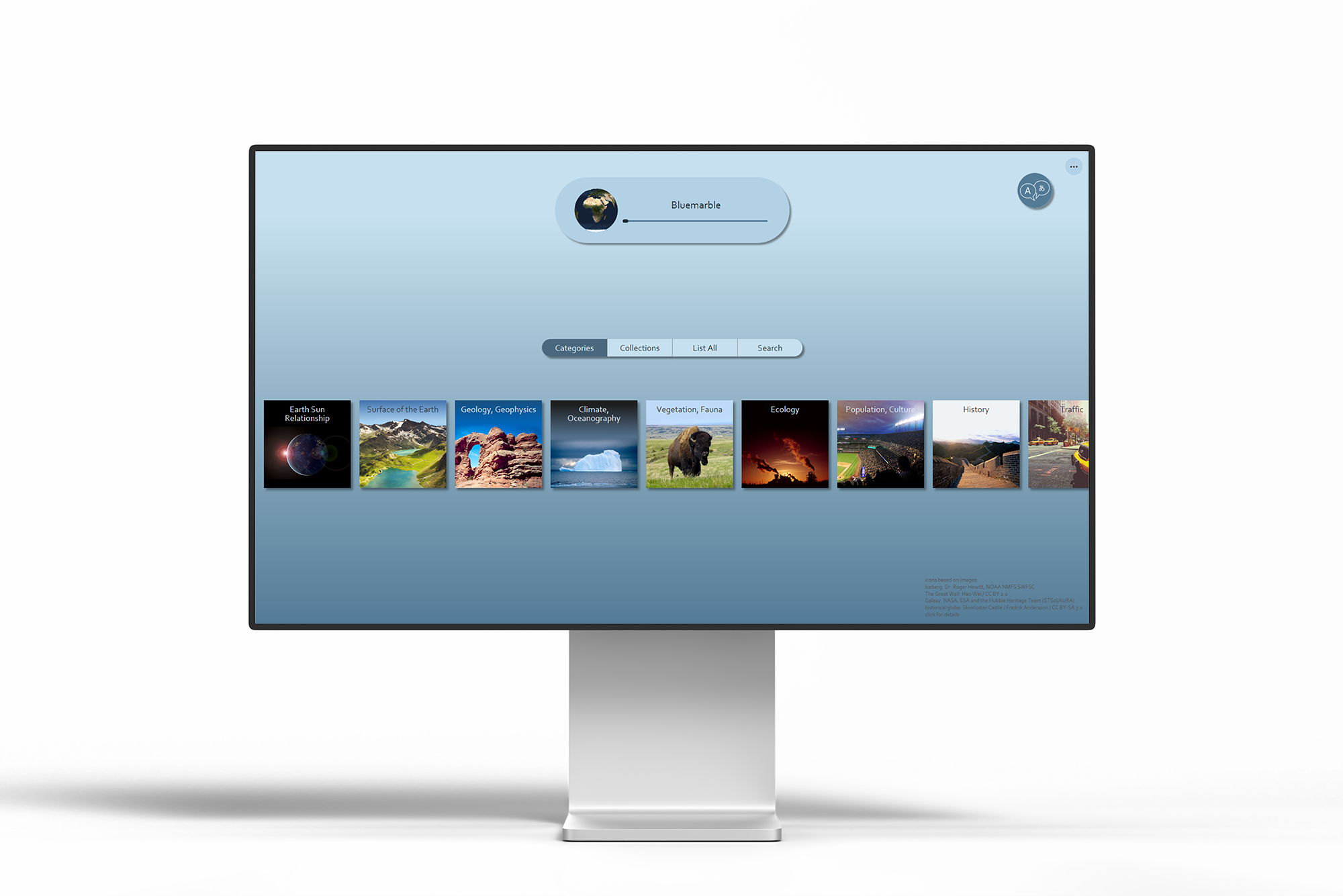
Offer multilingual experiences with OmniSuite’s dynamic interface, audio tracks in diverse translations, and the power to showcase globe pictures and maps in multiple languages.
HELLO BONJOUR HEJ HALLO CIAO
HELLO BONJOUR HEJ HALLO CIAO
HELLO BONJOUR HEJ HALLO CIAO
HELLO BONJOUR HEJ HALLO CIAO
HELLO BONJOUR HEJ HALLO CIAO
HELLO BONJOUR HEJ HALLO CIAO
HELLO BONJOUR HEJ HALLO CIAO
HELLO BONJOUR HEJ HALLO CIAO
HELLO BONJOUR HEJ HALLO CIAO
HELLO BONJOUR HEJ HALLO CIAO
HELLO BONJOUR HEJ HALLO CIAO
HELLO BONJOUR HEJ HALLO CIAO
Customizability
Tailor Your Experience
Elevate your experience with seamless appearance and interaction customization, empower control adjustments, and effortlessly infuse your unique style through color, font, and branding enhancements.

Limitless Customization with JS

For the ultimate in UI customization, create your own interface and seamlessly connect with the rendering application through sockets and web sockets.
Interactivity
Intuitive Control at Your Fingertips
Beyond the touchscreen kiosk, your audience can now engage effortlessly using their own phones, redefining user interaction with unparalleled convenience.

Tablet Control
Empower your presenter to enhance the audience experience by seamlessly strolling among them while controlling and engaging with the displayed story on a tablet.
Zoom Lens
OmniSuite’s innovative zoom lens enables precision detailing at zoom levels up to 600%, seamlessly preserving spatial context with no visible gaps or borders.

Your Globe, Your Rules!
Rotate the globe, hide a layer, update your weather map—OmniSuite empowers you to do it all and more with effortlessly.
Engage Every Visitor
OmniSuite’s Split View Mode ensures that all onlookers, encircling the globe, can easily follow your insights about any specific region.
Experience Limitless Interaction
OmniSuite’s interface redefines engagement with your globe, effortlessly enabling story swapping and intuitive navigation through time using timelines and bookmarks. Explore boundless rotation with our virtual globe and uncover endless interaction possibilities, including layer concealment and beyond.
Globe-Embedded Quizzes

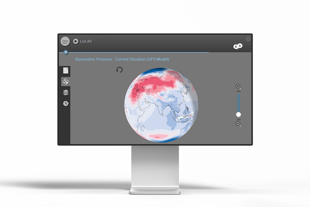
Experience the future of interactive learning with our new Quizzes feature. Questions placed right on the globe, and your audience answers on their own phones.
Insights
Your Insights

Understand how users engage with your content and identify areas for improvement. This also guides OmniSuite to prioritize popular real-time topics for enhanced user experiences.
OmniControl
Introducing the OmniControl Dashboard. Effortlessly manage your globe with remote access. Update settings, download and refresh content, and gain valuable insights from user statistics with ease.
Content
Keeping It Fresh with Real-Time Content
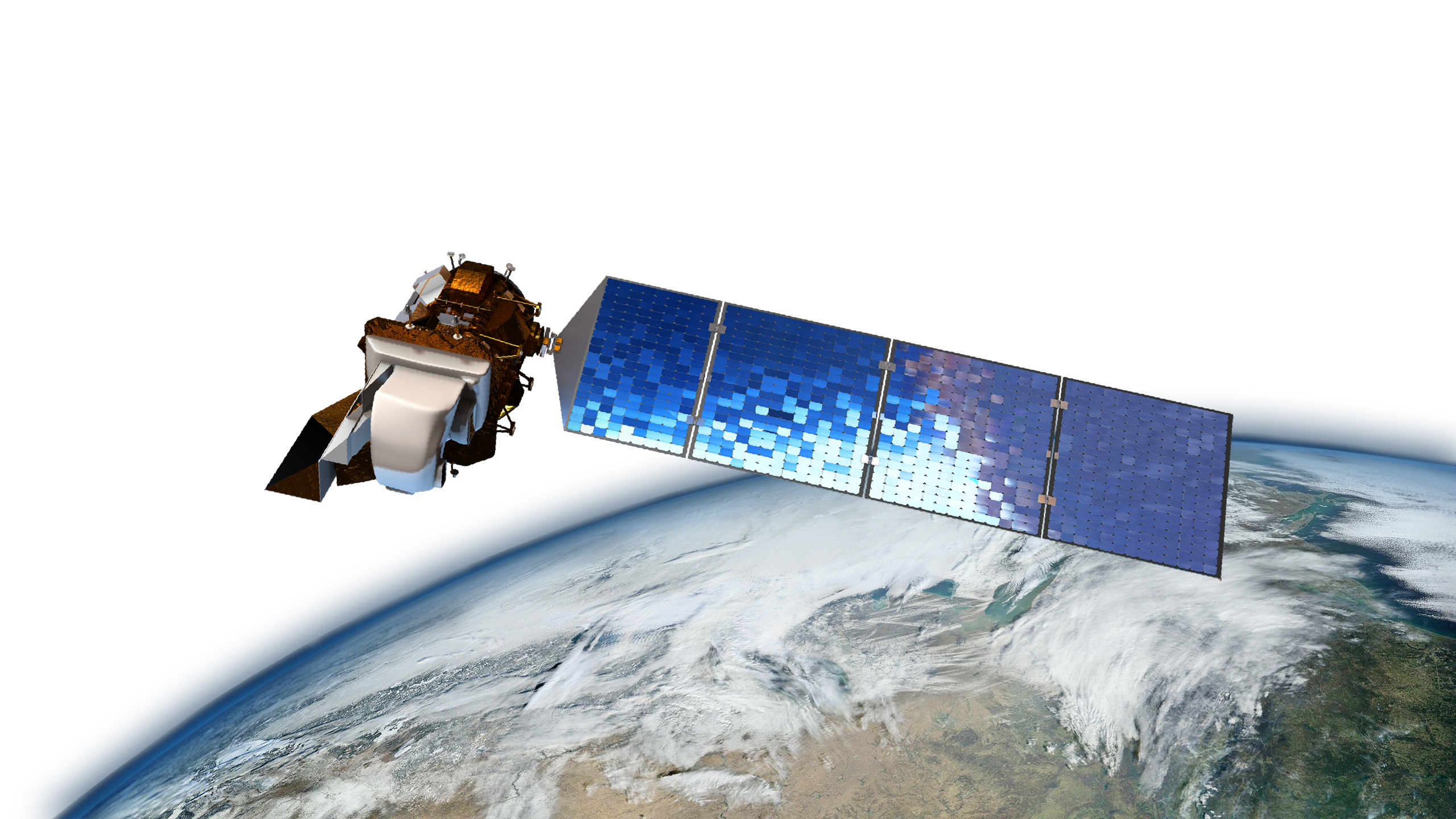
Keep your globe relevant with dynamic updates, such as real-time cloud coverage, temperature, precipitation rate, and earthquakes. Access ready-to-use topics in our Web-Catalog or unleash your creativity with custom data.
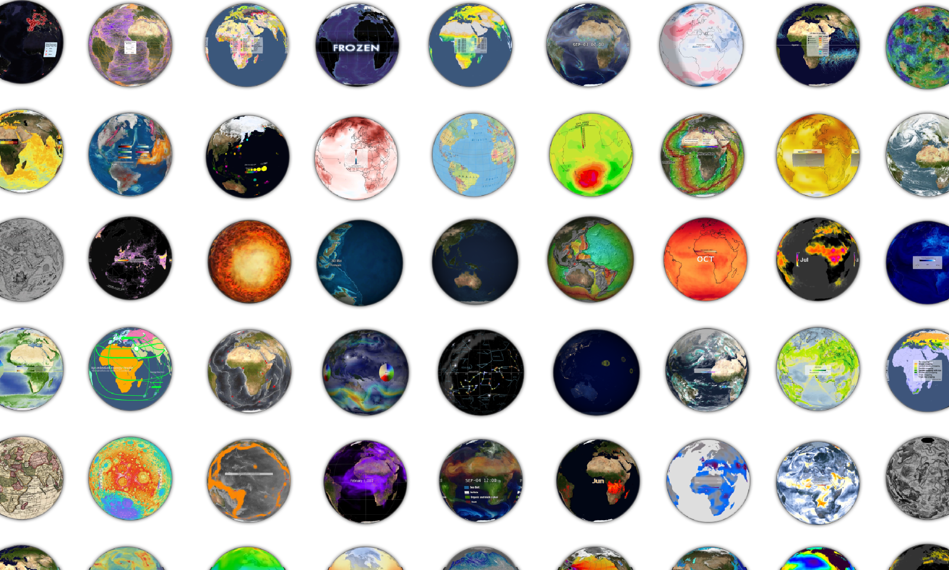
Discover Endless Stories
Explore OmniSuite’s Web-Catalog with Over 330 Pre-Made Adventures, All Just a Click Away.
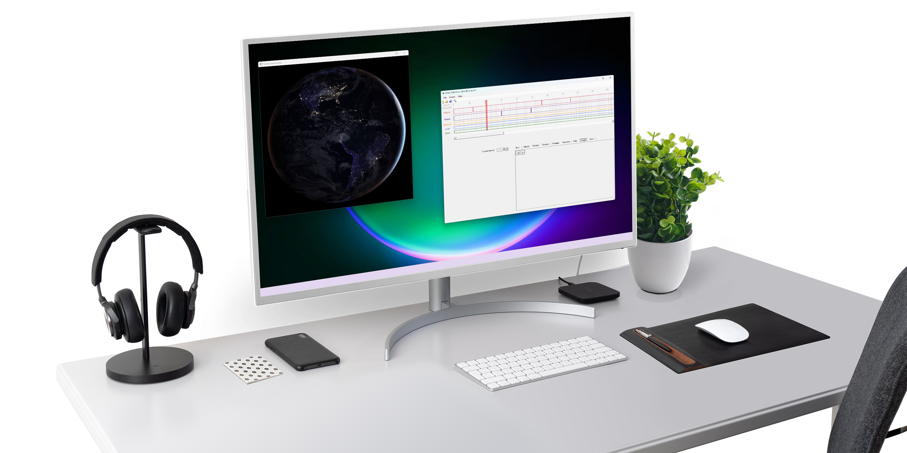
Unified Authoring Environment
Our harmonized authoring environment empowers you to effortlessly create your own stunning content.
Unleash Your Creativity with Raster and Vector Data

Seamlessly integrate popular raster and vector point-datasets with dynamic cartographic style sheets for next-level storytelling.
Screen Capture
OmniSuite Lets You Easily Display Regions from Your Screen, Like Google Maps or Geographic Information System Windows, Right on Your Globe.
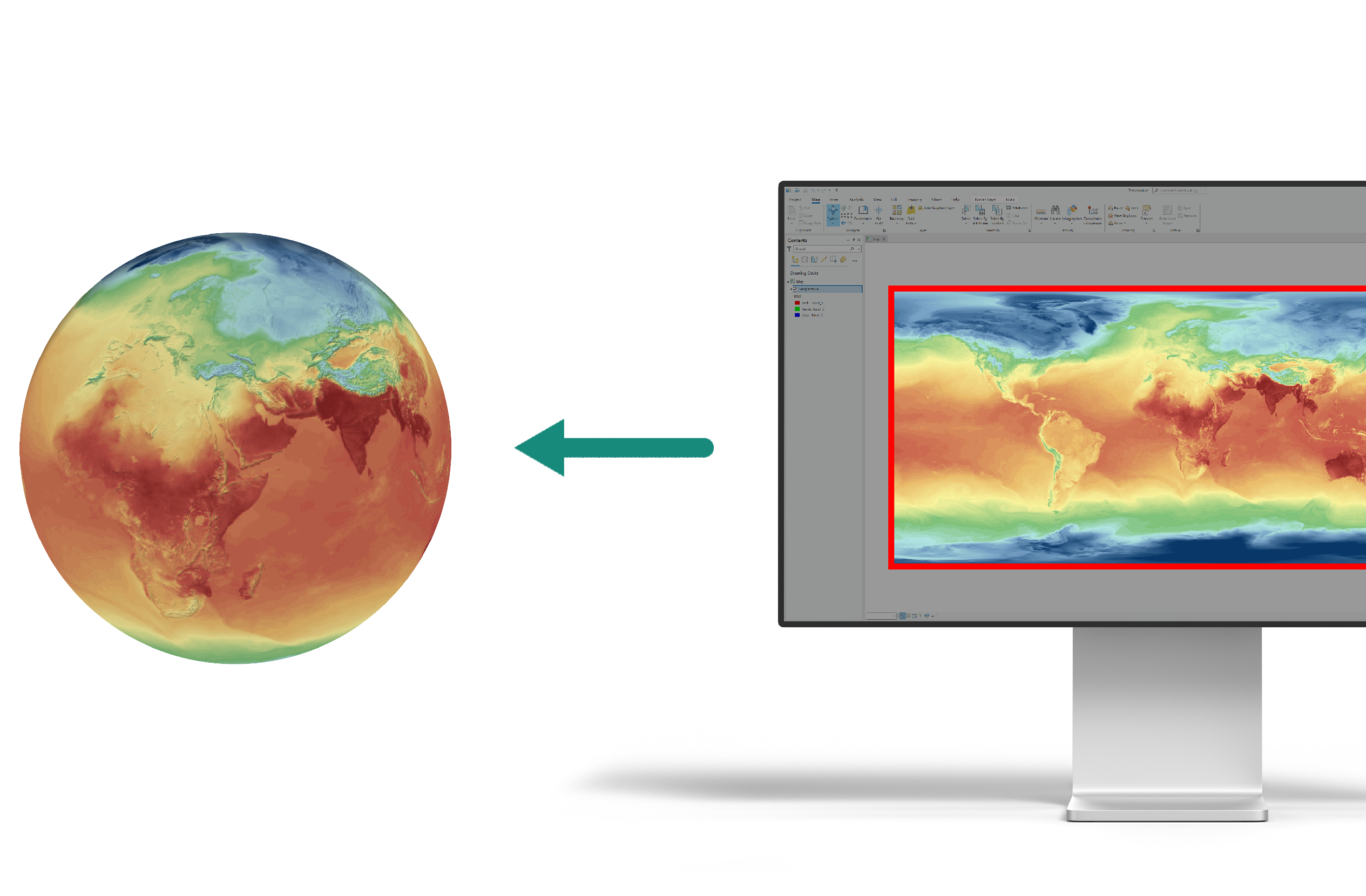
File Streaming

OmniSuite lets you effortlessly stream your data, whether it’s textures or point datasets, in millisecond intervals, ensuring your content is always up to date.
Questions? Answers.
What data formats is it possible to work with?
The basis of most of the presentations on the globe are images in popular raster formats in Plate Carrée projection. You can use well known applications (like image editing applications, GIS, …) to prepare these images.
Direct use of vector files is supported for point-data-sets. These files are visualized in real-time based on cartographic style-sheets. This allows to create presentations more easily and provide new ways of interactions to the end users.
Is the animation interactive?
The projection/rendering of your media onto a spherical display is done in real-time to allow many forms of interactivity.
Is it possible to display “real-time” data?
You can prepare and provide your data-sets in the form of images, point-data-sets or in form of a “continuum” data-file-format on the server.
Is it required to store own real-time data on Globoccess server?
We offer several real-time data-sets on our servers ready-to-use but you can provide your data or images on your own server and specify that url in your scripts.
Is it possible to customize the GUI?
Many settings can be set via the user interface of the application. These settings are possible for two different use cases: the public and a presenter.
Playlists can be created easily and additionally help together with different playing modes to adapt the GUI to your requirements.
More customizations in the design can be applied via styles in an embedded css-file.
And if required a JavaScript API allows you to completely create your own GUI to present your data-sets.
Is it possible to display my language?
Many languages are already included in OmniSuite. And also many presentations are already translated in different languages (including texts on the globe picture). Translating presentations is often done in cooperation with our customers.
In any case it is possible to add translations yourself at any time easily.


